File:Georadarmessung.jpg
Jump to navigation
Jump to search

Size of this preview: 800 × 565 pixels. Other resolution: 1,029 × 727 pixels.
Original file (1,029 × 727 pixels, file size: 655 KB, MIME type: image/jpeg)
Information about the picture: Georadarmessung.jpg
| English
Please add description |
| Deutsch
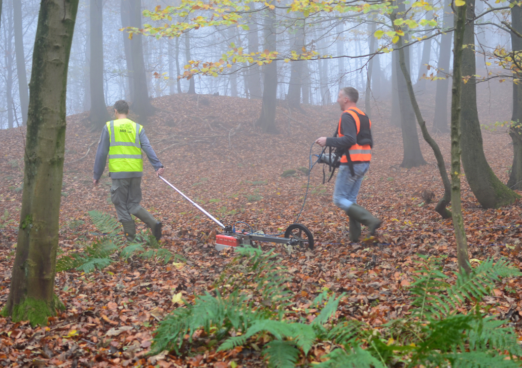
2 Männer untersuchen die Erd·kruste, mit einem Spezial·gerät |
| Español
Por favor, añada Descripción |
| Italiano
prega di aggiungere a descrizione |
| Magyar
A fotó |
| From where is the picture? |
| Who is the owner? |
| What to note?
Creative Commons CC-by-sa-3.0 de
|
File history
Click on a date/time to view the file as it appeared at that time.
| Date/Time | Thumbnail | Dimensions | User | Comment | |
|---|---|---|---|---|---|
| current | 16:09, 6 June 2018 | | 1,029 × 727 (655 KB) | Circum (talk | contribs) | {{PictureInfo| | Description = Please add description | Beschreibung = 2 Männer untersuchen die Erd·kruste, mit einem Spezial·gerät | Descripción = Por favor, añada Descripción | Descrizione = prega di aggiungere a descrizione | Leírás... |
You cannot overwrite this file.
File usage
The following file is a duplicate of this file (more details):
- File:Georadarmessung.jpg from a shared repository
There are no pages that use this file.
Global file usage
The following other wikis use this file:
- Usage on k212294_hurraki_de
- Geophysik